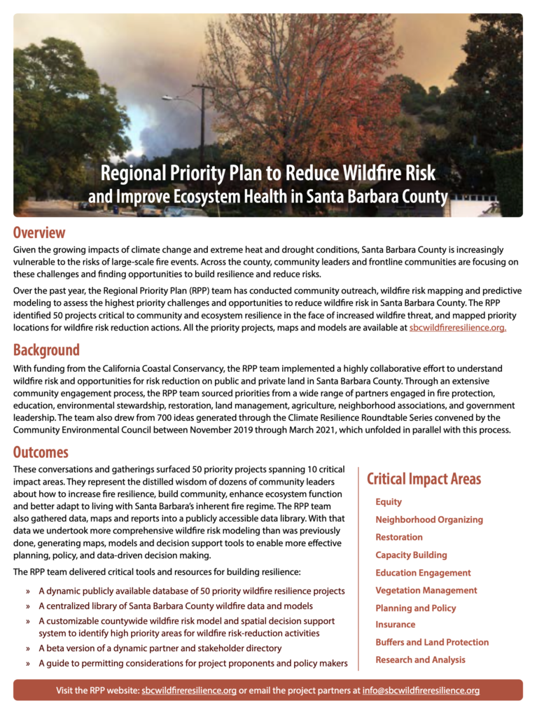
 SANTA BARBARA — As the region becomes increasingly vulnerable to fire due to extreme drought and heat conditions exacerbated by climate change, community leaders and organizations have come together to proactively address fire risk in Santa Barbara County. For over a year, a dedicated team, which included the Cachuma Resource Conservation District, LegacyWorks Group, Community Environmental Council, McGinnis Environmental and Conservation Biology Institute engaged numerous partners in the fields of fire protection, education, environmental stewardship, restoration, land management, agriculture, neighborhood associations and government leadership. Together, the partners identified fire risk reduction opportunities and developed a suite of project ideas. Nearly 200 potential projects were identified and 50 high impact opportunities were prioritized addressing:
- Equity
- Neighborhood Organizing
- Restoration
- Capacity Building
- Education Engagement
- Planning and policy
- Insurance
- Buffers and Land Protection
- Research and Analysis
The group also undertook extensive spatial analysis work to map the specific places in the County where different types of wildfire risk reduction activities would have the most impact. The maps and models are available in an interactive Spatial Tool. They will also facilitate decision making and serve as a platform for future resilience planning and project implementation.
The potential for this suite of projects to have a transformative impact on Santa Barbara County is immense. Rob Hazard, Division Chief and Fire Marshall for Santa Barbara County Fire Department and a close collaborator on the RPP says “If we implement the projects in the RPP over the next ten years we’ll be 90 percent of the way to building resilience to wildfire. Most of these projects are going to be done by non-government players, and the County needs to do everything we can to help. The end result will be a more resilient natural environment and a safer community.”
The results of this 18 month undertaking are now available to view and contribute to through the website sbcwildfireresilience.org. There, the public may access all the project ideas, descriptions and maps.
On December 9, from 1:00 to 2:00 PM, we will have a brief presentation of the Spatial Tool followed by a hands-on tutorial how to use the Tool. You can use it to understand where the analysis prioritized action, for what types of projects, why, and how to build your own custom maps. See https://bit.ly/WildfireTool for further details.
The visionary project was funded by the California Coastal Conservancy and was administered and led by the Cachuma Resource Conservation District. The partners intend to update the plan as needed and collaborate on the implementation of priority projects.
